Bosys Technologies is a full-service Geomatics and Information Technology company. We provide high precision, on-demand spatial data acquisition, photogrammetry services and Geographic Information Systems including software development, support and consulting services.
accurate | professional | timely
our services
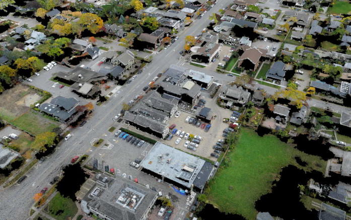
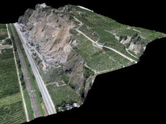
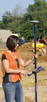
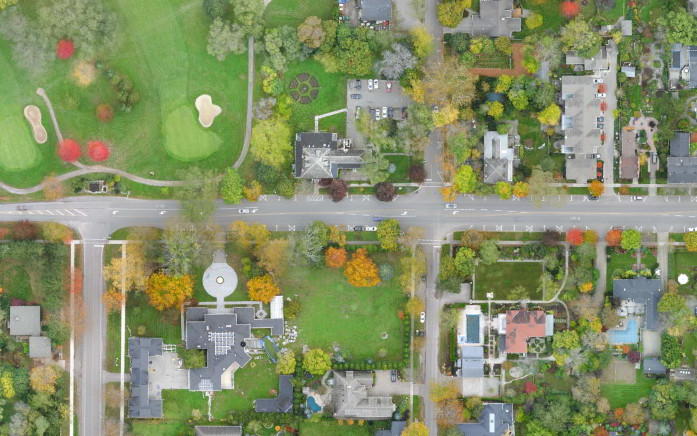
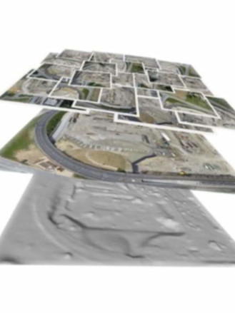
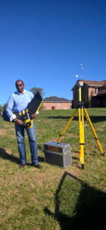
For small to medium areas as well as 3D modelling, Bosys uses in-house capabilities to acquire the data needed for the creation of many of its products. For larger areas - exceeding 15 km², external sources are used to acquire the required data with processing also completed in-house.
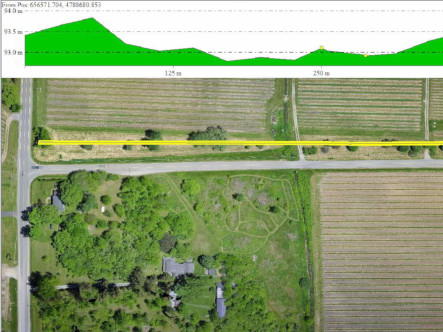
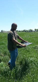
more info..Precision Agriculture is a crop management system based on information and technology that analyses the spatial and temporal variability within the field and addresses them systematically to optimize crop health, productivity, and profitability.
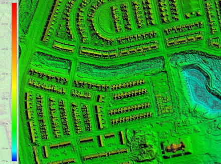
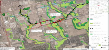
more info..For over 30 years, the team at Bosys has successfully implemented and managed many Enterprise Geographic Information Systems (GIS) and mapping projects on multiple platforms for the public and private sectors in Canada and around the world.
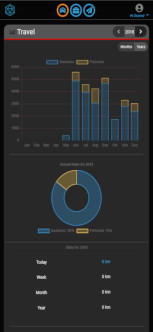
more info..With a strong focus on productivity and usability, Bosys designs, develops, and hosts automation tools and specialized web, mobile and desktop applications that combines spatial data and visualization that targets specific technologies to address specific business requirements.
more info..